Level AI accelerates project timelines, delivering results in a fraction of the time compared to traditional methods.
By automating complex tasks, Level AI significantly reduces labour costs and minimises errors, leading to substantial savings.
Our AI-driven approach ensures unparalleled accuracy in civil engineering projects, enhancing the quality and reliability of outcomes.
Level AI supports sustainable and efficient land development worldwide, driving progress and innovation in the industry.
Civil engineering is being redefined, and Civix is leading the charge. With Level AI, our exclusive artificial intelligence platform, we are delivering projects at a speed and accuracy the industry has never seen before. This is not an upgrade to the way things have been done, it is a complete reinvention.
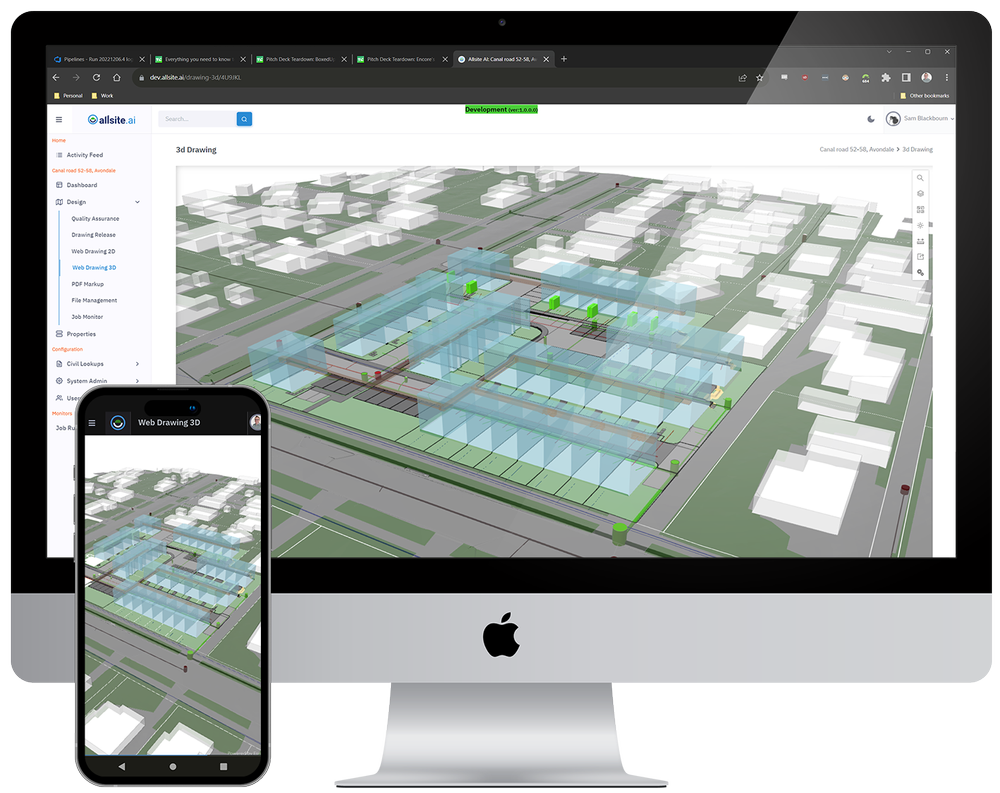
Level AI slashes design time, eliminates costly errors, and unlocks feasibility insights in hours instead of weeks. It integrates seamlessly with existing design tools, transforming flat 2D layouts into fully detailed 3D models that bring projects to life before the first spade hits the ground.
And the power does not stop there. When site conditions shift or requirements evolve, Level AI adapts instantly. Update the parameters, click once, and your design regenerates in real time. Soon, with Service.AI from Allsite.ai, you will be able to generate servicing systems with the same speed and precision.
This is technology you cannot get anywhere else. Civix holds exclusive rights to Level AI in New Zealand, making our clients the only ones with access to the most advanced civil engineering AI in the country. With Civix, you are not just keeping up with the industry, you are staying years ahead of it.
When site conditions change, for example shifts in soil composition or evolving project requirements, update the parameters and Level.AI regenerates your grading and civil designs in real time. With Service.AI arriving soon, servicing systems will be generated just as effortlessly, further accelerating your AI driven site design.
Civix holds exclusive rights to Level AI in New Zealand, so our clients access cutting edge, truly unique AI powered grading and design solutions that are not available anywhere else in the country.

Level AI has proprietary algorithms and AI models to generate full roading geometry in compliance with local roading standards. Our full roading geometry system takes into account:
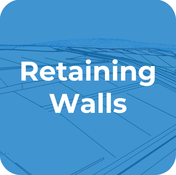
Retaining walls are fully supported in the Level AI model. If the site layout as proposed doesn’t have a viable solution for the grade controls, the artificial intelligence will automatically carry out an options assessment on increasing wall height and increasing the number of walls to provide a compliant design.
Features include:
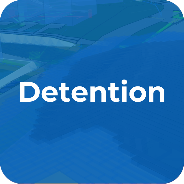
Automatic 3D modelling of detention systems, specify the allowable extent of the system and whether the goal is to target a specific volume or maximize volume in a given areas.
Parameters include:
Automatic 3D modelling of detention systems, specify the allowable extent of the system and whether the goal is to target a specific volume or maximize volume in a given areas.
Parameters include:
Level AI takes the location of existing and proposed infrastructure along with minimum grade and freeboard requirements and ensures roading and lot levels can be serviced to local standards.
For flatter sites these systems can become the main constraint on site levels, Level AI's AI models factors into the design.
The Civix development process uses an AI-driven approach to guide clients from initial project scoping through detailed site design. Each step, from layout planning to model building and final outputs, ensures a compliant, balanced, and cost-effective design tailored to project needs.
Book a demonstration of Level AI and request a tailored quote from Civix. Level.AI integrates with your preferred design software, turns early layouts into detailed 3D civil designs, and lets you assess feasibility in hours, not weeks. When inputs change, you can update parameters and regenerate designs with a single click.
Alongside the AI powered design workflow, we offer add ons that strengthen delivery, including layout development workshops, flood modelling, and engineering estimate preparation. These can be integrated into your scope for a customised, end to end solution.
We are driven by precision, innovation and results. Talk to us today about how we can help bring your development vision to life.
To get started, we need a site layout. You can supply one from your urban designer or architect, or we can prepare layout options for you. Level.AI works from simple 2D layouts and produces detailed 3D civil models, so DWG, RVT or clean PDF files are fine.
If you do not already have a layout, we can run a workshop with your project team to confirm goals, constraints and servicing strategy, then work with the right professionals to produce fit for purpose layout proposals that align with council expectations and market reality.
What we need (typical inputs)
Base information (topographical survey, title, easements, contours)
Any planning overlays and key rules, preferred yields or staging
Draft building footprints or red lines for roads, lots and open space
Known constraints (flooding, geotech notes, existing services)
What you receive
One to three layout options with a short rationale and trade offs
A servicing concept and high level feasibility signals
Clear next steps to move into detailed design with Level AI
To generate accurate designs, we set your project standards, load the base data, and add any optional layers that improve precision.
Grading questionnaire, required
When you sign up we send a short grading questionnaire. It captures default parameters and standards to use in the design, for example road crossfalls, minimum grades, berm and footpath widths, lot typologies, earthworks limits, target levels, staging, and any client or council standards.
Existing surface, required
The only essential input alongside the layout is the existing ground surface. A recent topographic survey is preferred, as it delivers the best accuracy for design. If a topo survey is not available, we can build an initial surface from publicly available LiDAR and proceed for feasibility. Note that LiDAR is less accurate than topo, so a topo survey is recommended before detailed design.
Accepted formats include LandXML, DWG with 3D faces, 12d strings, LAS or LAZ, and CSV point files. Please provide the coordinate system and vertical datum.
Drainage and sanitary networks, optional but recommended
Level.AI can account for required levels to connect to existing networks, which improves the accuracy of the proposed surface and servicing. If you have data for stormwater and wastewater, please provide pipe sizes, materials, inverts, cover levels, manhole locations and known constraints. GIS files, LandXML, CAD, PDFs or council extracts are all fine. Where public data exists, we can source and load it.
Geotechnical reports, optional
Level.AI can model soil layers and apply design restrictions at each borehole location. If available, provide the geotechnical report, borehole logs, groundwater information, CBR values, liquefaction or settlement assessments, and any recommended restrictions. We will translate these into model rules for fine grained control.
What happens next
We validate the inputs, resolve any gaps, then run a baseline model. You receive initial outputs for review, along with any assumptions and suggested next steps for detailed design.
With the layout and inputs confirmed, we build the initial Level AI model using your agreed default parameters. Where useful, we seed the model from our parameter library based on a comparable completed project, then tune it to your site and objectives.
What we set up
Design controls and targets, for example road crossfalls and grades, berm and footpath widths, minimum cover, earthworks limits, access and vehicle tracking checks
Servicing logic, for example pipe directions, inverts, outfalls, detention assumptions and overland flow paths
Geotechnical rules, for example soil layers, restrictions at borehole locations and groundwater considerations
Staging, temporary works and any site specific constraints
Standards and compliance
If the project is in a location that is new to us, we load and apply the local codes of practice and engineering standards, including council design guides and any relevant national guidance. Any departures are clearly recorded for review and approval.
Quality checks
We run a baseline and sanity checks to confirm the model behaves as expected. Typical checks include cut and fill balance, maximum grades, sight distance flags, pipe cover, flood path continuity and conflicts between disciplines.
What you receive
A calibrated baseline model with key assumptions listed
Preliminary earthworks and servicing quantities
Annotated plans and a short note on risks, trade offs and recommended next steps
After review, we capture your feedback and proceed to the first optimisation pass.
With the build complete, we run the Level AI model to generate a first pass. We start with target grading parameters only, and we deliberately avoid adding break features like batters or retaining walls. The AI then attempts to grade and balance the site while meeting all agreed rules such as minimum lot grades, road crossfalls, driveway limits, cover to services and overland flow paths. On flat or near flat sites this baseline run is often viable and can return a balanced design.
If the baseline does not comply, the system switches to What If mode. In What If mode the AI tests design adjustments to find a compliant solution, for example:
Introducing retaining walls where necessary
Increasing or smoothing grades on lots and roads
Adjusting platforms and tie in points
Shifting local high and low points to improve drainage and cover
Proposing minor alignment or vertical changes that unlock compliance
The AI returns a clear set of proposals to the designer, ranked by impact and trade offs. You see what changed, why it helps, and which rules it satisfies. Nothing is committed without human review. Your designer locks accepted elements, rejects those that are not acceptable, and sets any extra constraints for the next pass.
What you receive
A compliance summary against the agreed rules
A change list from WhatIf mode with rationale and estimated effects on quantities and constructability
Updated plans and a 3D model showing proposed walls, platforms and revised grades
Cut and fill balance, preliminary costs and any new risks or assumptions
Quality guardrails
No proposal that breaches council or client standards is applied without flagging
Retaining wall heights, driveway gradients, pipe cover and overland flow continuity are checked on every pass
All departures are listed for decision and sign off
When we stop
We iterate until the model meets the acceptance criteria you set at Step 3, for example compliance achieved, cut and fill within tolerance, retaining under the agreed limits, servicing feasible with headroom. At that point we lock the baseline and move to optimisation.
Once the model run produces a viable baseline, we hold a design workshop with your project team to review the results, test options, and agree refinements. The session is structured, fast moving, and focused on cost, compliance, constructability, and urban design objectives. Decisions are captured in a simple log so everyone leaves with the same understanding.
What we cover
Earthworks strategy, including staging to balance subareas or the whole site
Placement and height of grade breaks to manage cost and support the urban design intent
Minor layout adjustments that unlock balance, servicing headroom, or better buildability
Lot grading requirements by typology, including platforms and driveway controls
Retaining strategy, overland flow continuity, and pipe cover checks
Risks, assumptions, and any proposed departures from standards
Typical modifications
Add earthworks staging rules to balance cut and fill in targeted areas
Refine grade break locations and elevations to reduce volumes and wall heights
Tweak road and lot geometry to achieve balance and maintain servicing constraints
Update lot grading targets so common house types remain buildable across the site
What you receive
An updated Level.AI model reflecting agreed changes
Revised quantities for earthworks and servicing, with a short note on cost drivers
Annotated plans and a decision log of what changed and why
Clear actions for the next optimisation pass or detailed design
Who should attend
Developer or client project manager, civil lead designer, surveyor, planner, and geotechnical representative as required
When we stop iterating
We cycle through rapid passes during or after the workshop until your acceptance criteria are met, for example compliance achieved, cut and fill within tolerance, retaining within agreed limits, servicing feasible with headroom. At that point we lock the baseline and move to optimisation or detailed design.
Once the project team is satisfied with the model, we export everything you need for the next stage. You receive clear drawings for review and consent, machine readable files for design tools, and a short report that captures quantities, assumptions and compliance.
Drawings
Cut fill plans, earthworks sections and details
Retaining wall plans and profiles
Roading plans and long sections, intersections and vehicle tracking checks
Lot grading plans and platforms, driveway controls, overland flow paths
Servicing concept plans for stormwater and wastewater
Reports and schedules
Schedule of quantities generated directly from the model run
Optional pricing to create a draft engineer’s estimate
Assumptions, departures from standards and a compliance summary
Design change log showing what changed, why it changed, and the effect on cost and risk
Digital files
Online 3D model viewable in any modern browser
LandXML for surfaces, alignments and pipes
DWG for CAD workflows, 12d and Civil 3D ready exports
IFC for BIM and Revit coordination
Optional GIS layers (SHP or GeoPackage) and CSV schedules
Handover standards
Readme with coordinate system and vertical datum, file versions, layer naming and print scales
Versioned deliverables so your team and council know exactly what they are looking at
Next steps
We lock the baseline, confirm any final tweaks, then move directly into detailed design, consent documentation or pre application engagement with council, depending on your programme.
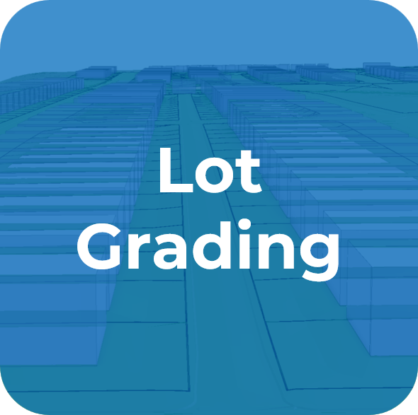
Level AI provides extensive grading capabilities, allowing relationships to be easily added between items such as roads and buildings. These relationships are optimised along with all other engineering parameters, resulting in a balanced design. This system works at scale, optimising levels on sites with thousands of relationships, enabling the design of master planned communities in hours, not days or weeks.
Level AI’s visualisation tools are excellent for client communication, providing insights into how environmental conditions impact the site.
Civix - Engineering for the AI Future
Imagine having the power to model your trench excavation with precision, ensuring safety, compliance, and cost-efficiency—all at the click of a button. Our advanced trench modelling technology allows you to choose the optimal excavation method for your project, whether it’s stepped excavation or shoring. Our technology designs benching to comply with OSHA standards. Trench cut and backfill volumes are calculated and displayed in precise cut-fill tables, ensuring you have the most accurate estimate of trench spoils.
Our visualisation tools allow for seamless communication with your clients, making it easier to convey project details and decisions. All this power, precision, and peace of mind—available at the click of a button.
Specify your target volume, depth, and pond grades,
and Level AI will handle the calculations for you.
Ensuring compliance with all good engineering design principles,
while perfectly balancing cut and fill.
Efficient, accurate, and designed to save you time.
Experience the future of pond sizing with Level AI.
We are integrating with popular Geotech software tools such as Data Nest and Leapfrog so bore log information can be directly imported into your projects. Additional design control information such as a maximum cut or minimum surface values can be added to control design. Level AI prepares control surfaces from these records to inform the Level AI optimization engine, ensuring the final levels produced comply with Geotech requirements. It takes less than 5min to import hundreds of bore logs and add them to the Level AI model. Allsite.ai - engineering for the AI future
“Level AI has rapidly produced a design that will enable earthworks to be staged in a way that reduces our environmental permitting costs. This technology has the potential to enable Brookfield Developments to explore more design options and save development costs.”
For private land developments, Civix Town Planners, Chartered Engineers and Licensed Cadastral Surveyors have got you covered from the initial site visit through to council sign off.
Contact UsALL RIGHTS RESERVED CIVIX LIMITED 2022 © Website & SEO Services by ![]()