Civix is a land development company with expertise across Auckland, Christchurch and Tauranga. We help property owners and developers through every step of the way, ensuring your development project runs smoothly from start to finish. Explore Civix’ services below to see how we can support your next project.
Civix engineers are experts in the development and subdivision of land, with extensive experience working on Christchurch-based projects. We can provide a wide range of Civil engineering services for your project. We also strive to work collaboratively with the other disciplines involved in project delivery to provide collaborative and integrated outcomes that meet the specific needs of Christchurch communities.
Find Out More
Our Environmental engineers are experts in stormwater management through years of research and experience in the fields of contaminant management, flood control and sediment control.
Find Out More
Civix planners take the uncertainty out of the consenting process. Our planners are experts on the Unitary Plan, District Plans and the Resource Management Act (RMA). Whether you are just starting due diligence or ready to proceed with consent applications, we can help. We can provide a full project team to meet your project objectives.
Find Out More
Civix Licensed Cadastral Surveyors can take you through the development process from the initial topographic survey through to construction setout, as-builting, 223 and 224C applications. We also strive to work collaboratively with the other disciplines involved in project delivery to provide collaborative and integrated outcomes.
Find Out More


At Civix we cover every stage of land development and civil engineering, from the first concept to project delivery. With projects across Auckland, Christchurch and Tauranga, we work with architects, developers, builders, government, councils and private landowners to provide solutions that fit each project’s needs.
Our expertise spans subdivision, civil construction and full engineering services. We take complex processes and make them simple, keeping projects moving while staying fully compliant with local regulations. The result is efficient, high-quality outcomes delivered across New Zealand.
FIND OUT MOREWe are extremely excited to join forces with Aedifice Property Group in their ground breaking Kohe development, situated in the vibrant town of Pukekohe. CIVIX planners, engineers and surveyors have been involved since identifying the potential of the property for a private plan change.

A historic project that Civix planners obtained consent for is Taumata o Kupe which is still gaining detailed reviews of the architectural and cultural outcomes. Post its NZAI award for public architecture it has been written about in the Guardian.

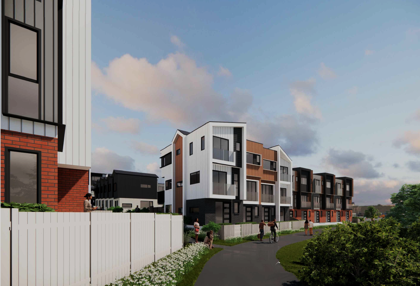
Civix Planners, Engineers and Surveyors have gained approval for a subdivision and development of 108 residential terraced houses at 19 Murphys Park Drive, Flat Bush, Auckland. Ozac Architects and Greenwood Landscape Architects have created plans for quality yet affordable housing in this growing area. This marks Civix's final approved development, including 267 residential units, both apartments and terraced houses, along with 5 commercial retail units at the Murphys Park Drive and Murphys Road corner. Excited to see this neighborhood thrive and enhance housing and commercial offerings in Flat Bush.

Auckland, Christchurch and Tauranga. Our team of experienced civil engineering professionals provides a comprehensive range of services, from expert land surveyor solutions to infrastructure projects and urban development. We focus on delivering practical, innovative, and sustainable outcomes, ensuring that your land development infrastructure is built to the highest standards while maintaining our strong commitment to sustainability. Whether you're developing residential, commercial, or industrial land, Civix is the trusted civil engineering company you can rely on for expert guidance and seamless project execution.
Our registered surveyors bring decades of local experience in surveying, subdivision, and site preparation, ensuring that every step of your project is carried out with precision and attention to detail. As specialists in civil construction across Auckland, Christchurch and Tauranga, we work closely with developers, property owners, and local councils to ensure full compliance with regulations and smooth project progression. Our land surveyor team delivers everything from land improvement and resource consents to the coordination of technical solutions that enhance the value and functionality of your land. At Civix, we understand the importance of a well-managed development process, and as one of the leading engineering companies in NZ, we tailor our approach to meet the unique needs of each project, from clearing land to developing large-scale housing complexes.
From initial design and construction to project management, Civix brings together a team of dedicated civil engineering professionals committed to delivering exceptional results in Auckland, Christchurch and Tauranga. We excel in handling complex projects, offering cost-effective solutions for engineering construction and land development. Our expertise spans both the public and private sectors, ensuring that our management services consistently achieve the best results for every client. We pride ourselves on delivering projects New Zealand can depend on, completed on time and within budget. With our experienced team of surveyors focusing on technical excellence and providing innovative solutions, Civix ensures that your new developments are built to the highest standards, improving the quality of life in the communities we serve.
Whether you're a landowner, developer, or working in an economic context, Civix provides a diverse range of civil engineering and land surveyor services that make developing land simple and effective. As one of the most trusted civil construction companies in Auckland and Christchurch, we're here to ensure your land development projects meet all necessary regulations and create lasting value for the future.

For private land developments, Civix Town Planners, Chartered Engineers and Licensed Cadastral Surveyors have got you covered from the initial site visit through to council sign off.
Contact Us