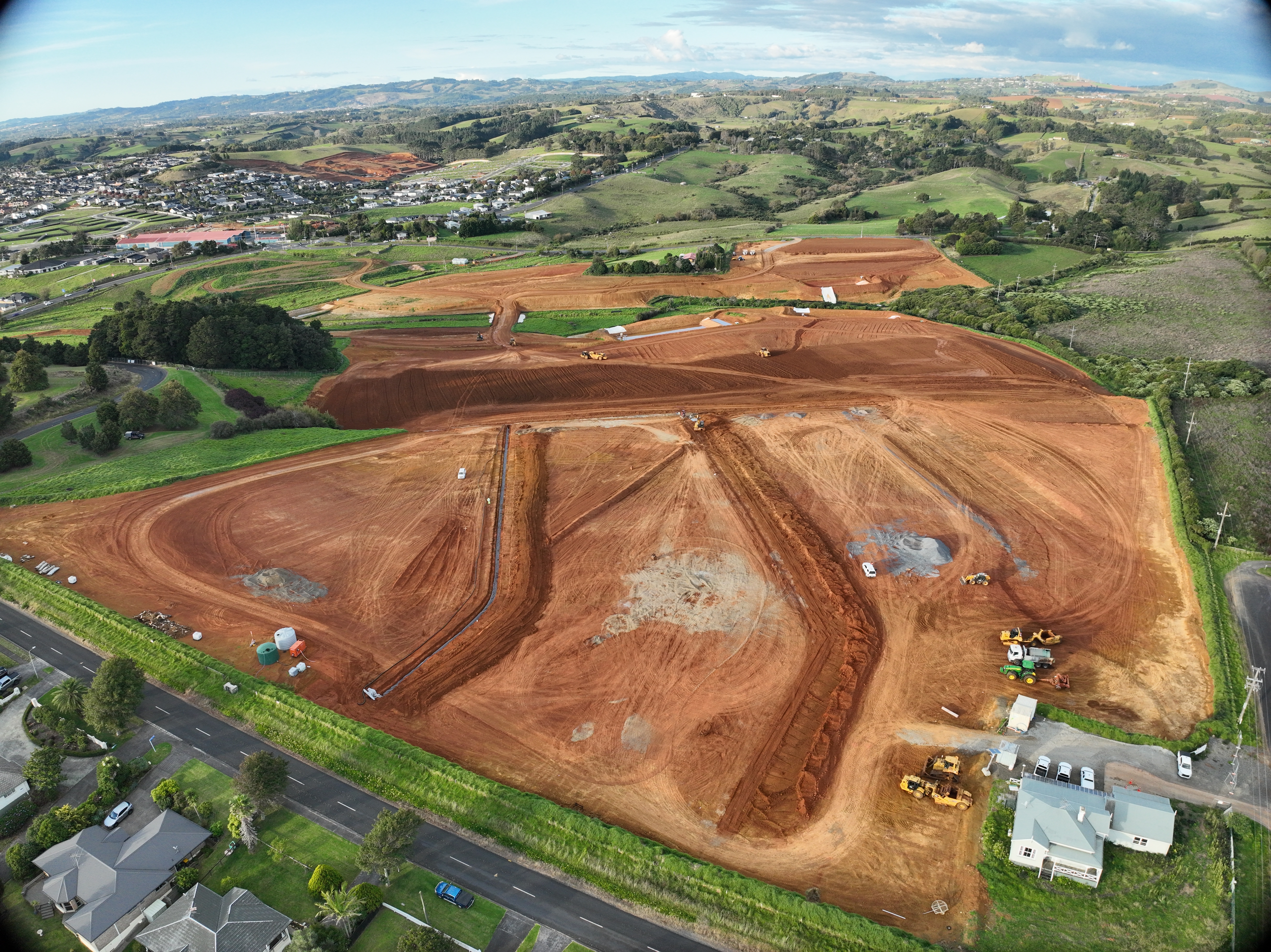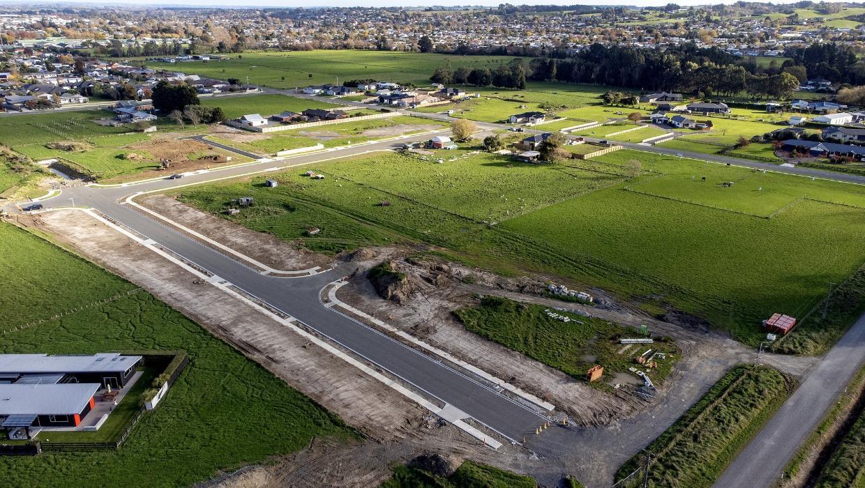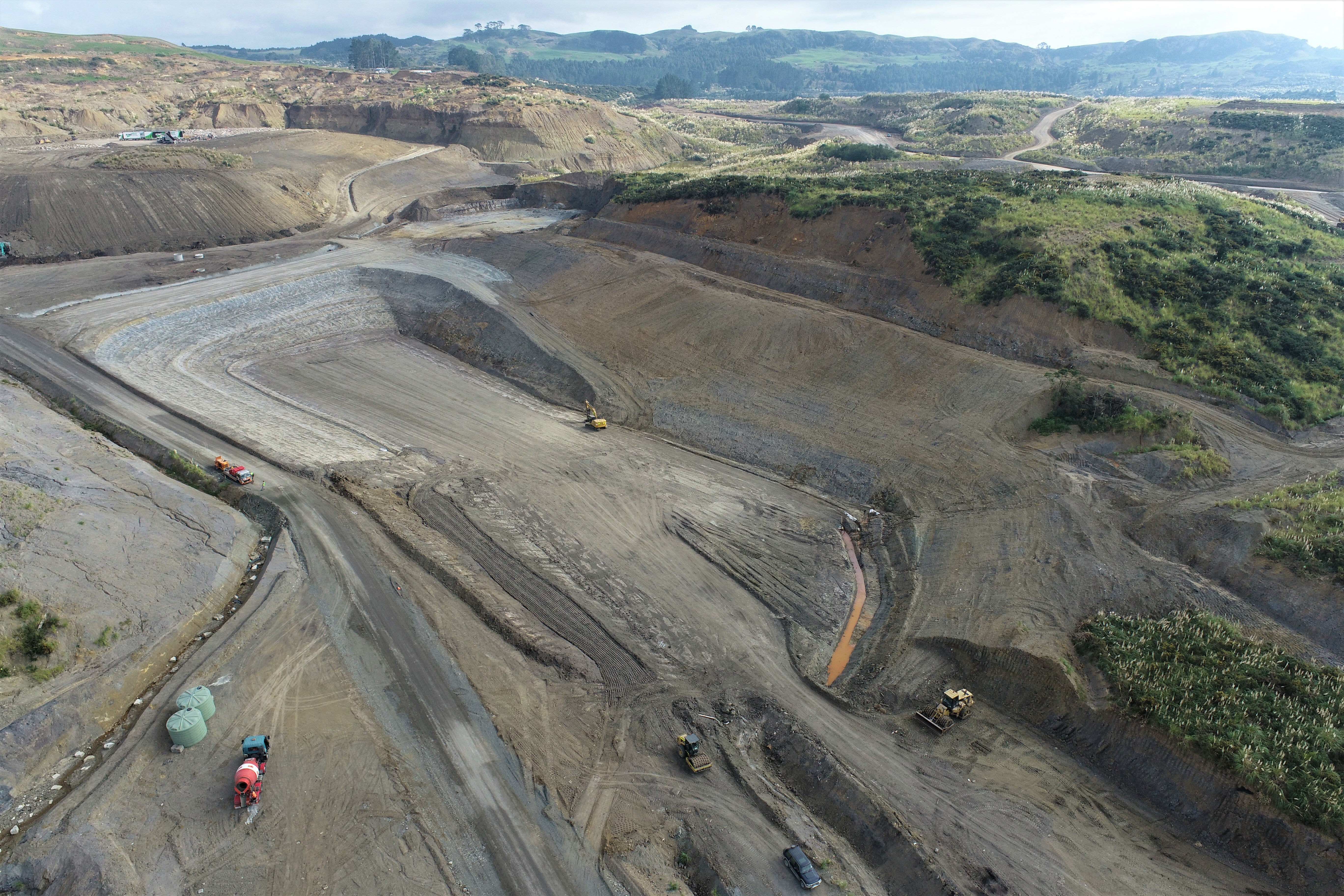

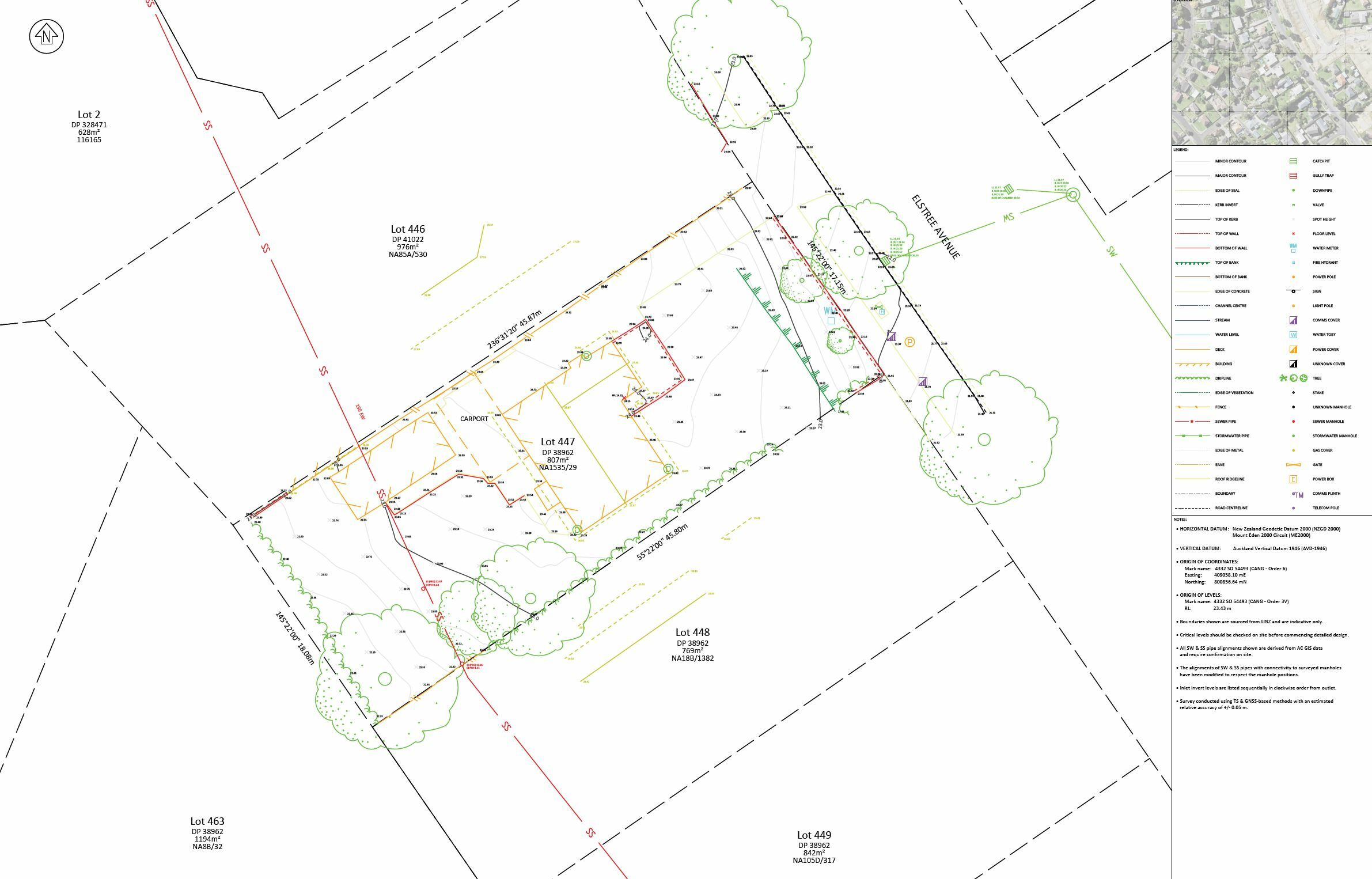
A professional land topographic survey is an essential starting point for any successful development or construction project. Also referred to as a topo survey, it captures the existing physical features of a site, including contours, trees, drainage lines, structures, and boundary details.
We deliver detailed topo survey plans in CAD ready DWG format, supported by two versions: one standard and one with aerial imagery for enhanced site context. Where appropriate, we also use drones to capture high resolution aerial data efficiently, which is ideal for larger or more complex sites. Our surveys are widely used by architects, engineers, planners, and developers who require accurate site data to guide design, resource consent, and construction.
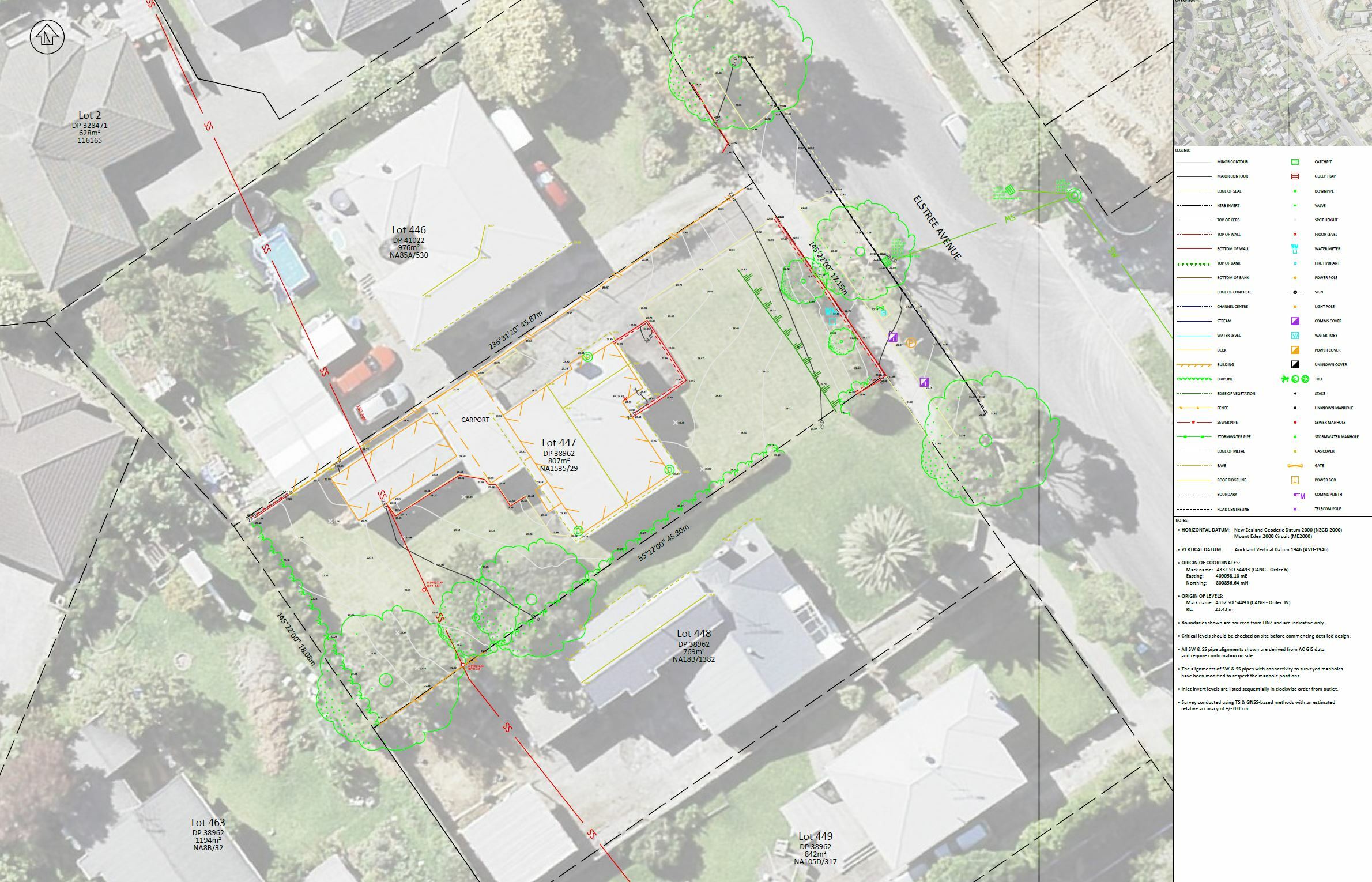
As a trusted topographic survey company, we combine proven methods with the latest technology to deliver data that is both precise and practical. Our team of highly trained professionals are equipped to work across a wide range of environments, from compact urban lots to sprawling rural properties throughout NZ.
Each topo survey is tailored to the specific needs of your project, capturing only what is relevant while ensuring compliance with council and industry standards. Whether you are building, subdividing, or simply need a clear picture of your property, we provide the insights you need to proceed with confidence.
Recognised for accuracy and reliability, our topographic survey services support a wide range of infrastructure and building projects across the New Zealand market. Our clients span the property, construction, and engineering sectors, and we have built a reputation for dependability and professional service.
Every topo survey plan we produce is reviewed by experienced professionals to ensure total clarity and consistency. From the first site measure to final plan delivery, we are committed to helping you understand your property and make informed decisions. If you are looking for a dependable topographic survey company, talk to our team today because we are ready to support your next project.
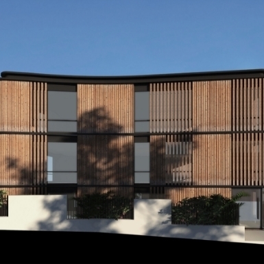
















For private land developments, Civix Town Planners, Chartered Engineers and Licensed Cadastral Surveyors have got you covered from the initial site visit through to council sign off.
Contact UsALL RIGHTS RESERVED CIVIX LIMITED 2022 © Website & SEO Services by