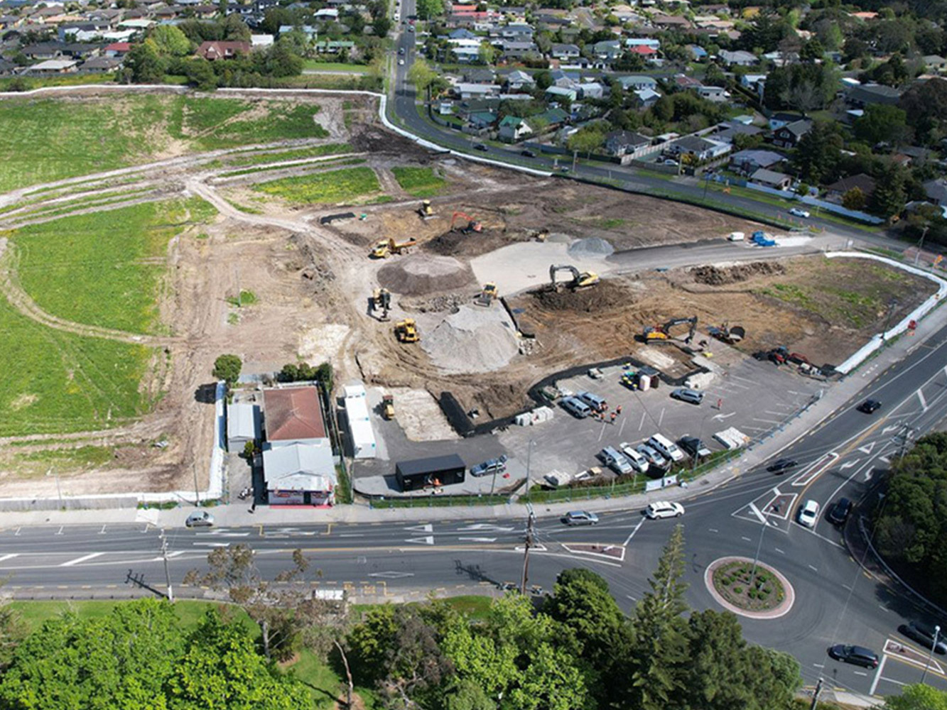
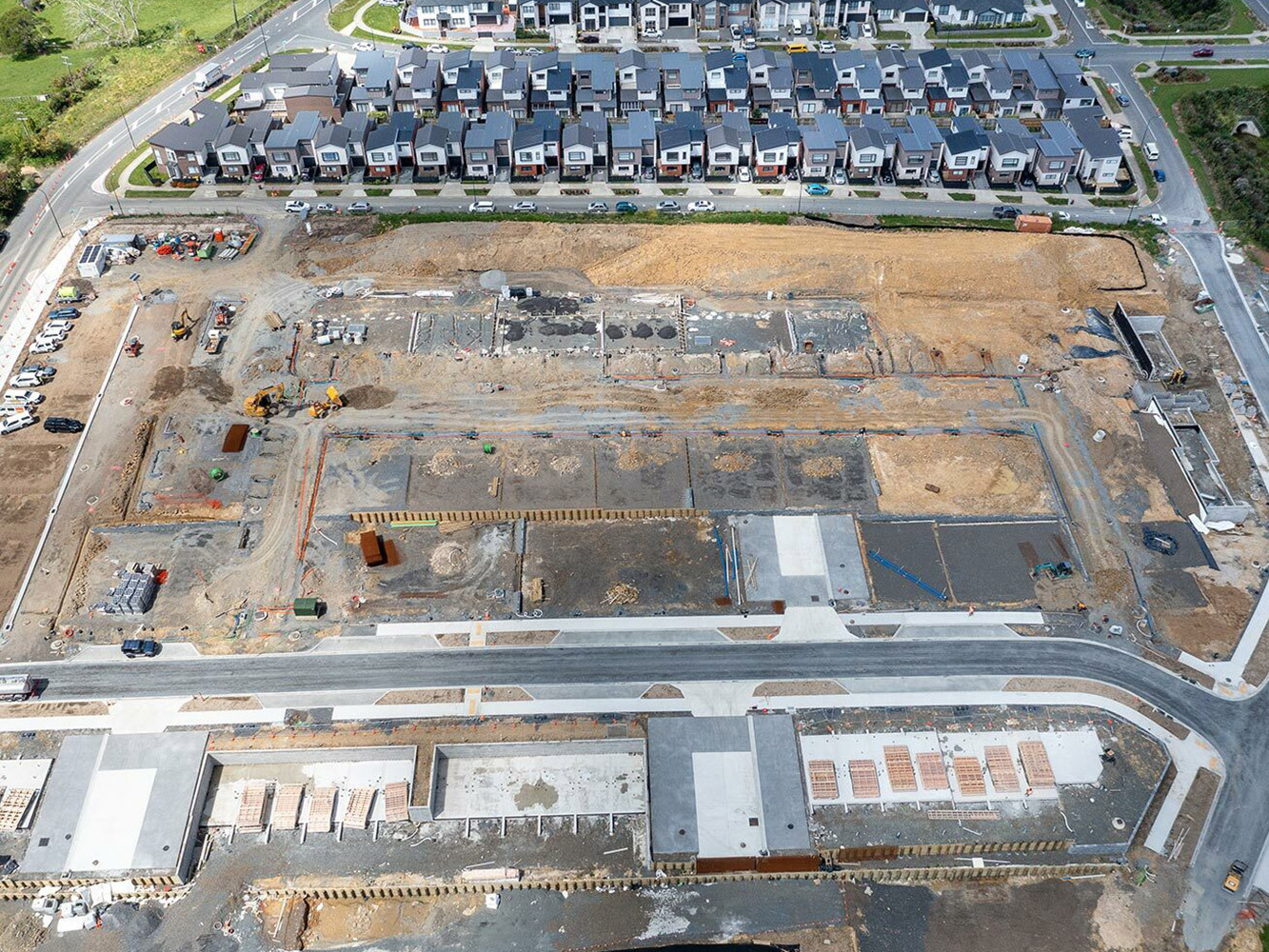
If you're planning a subdivision in Christchurch, one of the first documents you'll hear about is a scheme plan. While it may seem like just another drawing in the process, a scheme plan plays a critical role in getting your subdivision consented and setting the foundation for the entire development.
A scheme plan is a preliminary survey plan that shows how a piece of land will be divided into lots. It is usually prepared by a licensed cadastral surveyor and is submitted as part of a resource consent application for subdivision.
The plan typically includes:
Proposed lot boundaries and dimensions
Existing and proposed easements
Accessways and vehicle crossings
Road boundaries (new and existing)
Legal descriptions and site area measurements
Relationship to surrounding parcels
Unlike a final Land Transfer Survey Plan, the scheme plan is conceptual. It doesn’t define legal boundaries yet, but it shows what you intend to do, and forms the basis for Council to assess your subdivision proposal.
Scheme plans serve several critical functions:
Subdivision Consent The scheme plan is a mandatory part of the subdivision consent application. It helps Council planners and engineers assess whether your proposal complies with zoning rules, access requirements, and infrastructure standards.
Design Coordination It allows your planning, engineering, and surveying teams to coordinate early. Elements like building platforms, overland flow paths, and services can be considered alongside lot layout.
Client and Stakeholder Clarity For landowners and developers, the scheme plan offers a clear visual representation of how the site will be divided. It can also be used in discussions with legal advisors, neighbours, and potential purchasers.
Future Title Preparation Once subdivision consent is granted, the scheme plan provides the foundation for preparing the detailed Land Transfer Plan needed for 223 and 224c certification and title creation.
You will need a scheme plan any time you apply for resource consent to subdivide land, whether you're:
Creating multiple residential lots from a large site
Converting a cross lease to freehold
Undertaking unit title subdivision for townhouses or apartments
Realigning boundaries between existing titles
Formalising access or easement arrangements
Even small-scale subdivisions require an accurate, Council-compliant scheme plan.
Not all scheme plans are created equal. A well-prepared scheme plan should:
Clearly show proposed and existing boundaries
Accurately represent dimensions and lot areas
Show all relevant easements and accessways
Include topographic detail if required (e.g. for sloped or flood-prone sites)
Be formatted in line with Christchurch City Council GIS and planning standards
A surveyor who understands local expectations can prevent unnecessary delays by ensuring the plan includes all necessary elements for efficient review.
At Civix, our surveying team works closely with planners and engineers to develop high-quality scheme plans that support fast and successful subdivision consents. We understand Christchurch-specific requirements, including overlays, service capacity limitations, and infrastructure integration.
We help clients with:
Scheme plans for new residential subdivisions
Re-subdivisions and boundary adjustments
Unit title developments
Access and legal easement planning
Council pre-application meetings and resource consent submissions
A scheme plan is much more than a drawing, it’s the roadmap for your subdivision. With the right expertise, it becomes a tool for smoother approvals, better coordination, and a clear path to title creation.

Stormwater isn’t just a technical box to tick in Christchurch’s subdivision process, it’s one of the most scrutinised and impactful aspects of land development.
If you’re developing land or subdividing property in Christchurch, one of the most critical and often misunderstood steps is securing engineering approval.
In subdivision and land development projects, accessways and driveways often seem like minor details.
For private land developments, Civix Town Planners, Chartered Engineers and Licensed Cadastral Surveyors have got you covered from the initial site visit through to council sign off.
Contact UsALL RIGHTS RESERVED CIVIX LIMITED 2022 © Website & SEO Services by ![]()